Today, cold strong to gale force winds are continuing to affect parts of the east.
A Severe Weather Warning for damaging winds continues on and east of the Great Dividing Range.
Temperatures will continue to drop today and overnight in the wake of the strong cold front, with below average temperatures expected for the remainder of the week. Wind Chill factor will ease from tomorrow as winds ease.
Drop in winds and clear skies forecast for widespread frost along the ranges and western slopes and plains. Frost possibly continuing Friday in parts of the south east, including the ACT.
Cold and windy conditions expected to return early next week as another series of cold fronts move across the state. Snowfall to low levels is also possible, with the potential to see further snowfall about the central ranges in the first half of next week.
Flooding is continuing in several central inland and northern inland river systems from water flowing downstream from Queensland. Flows in these catchments are generally very slow, and several flood peaks will take considerable time to ease over the coming weeks and months as flood water from Queensland move downstream into NSW. People should check road and river conditions regularly.
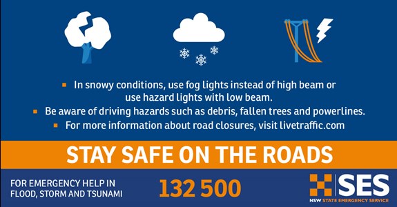
NSW SES urges people to prepare now and move vehicles under cover or away from trees. Secure or put away loose items around your house, yard and balcony. Further fallen trees and powerlines are possible in damaging winds, and transport may be impacted.
Take the usual precautions, like checking and avoid unnecessary travel.
- Know your risk
- Plan now
- Get your home ready
View the latest Bureau of Meteorology weather warnings at


69cba92a-ea8f-44ce-bfec-4dab42e7e2c0.jpg?sfvrsn=a6461a8c_1)


