Western Melbourne is home to some fantastic parks and one of the best ways to experience them is on a bicycle.
From Footscray it’s possible to visit nine separate Parks Victoria sites on Wurundjeri Country in less than two hours – by cycling down the Maribyrnong River and the Bay Trail to Point Cook.
The trail is mostly flat and almost entirely on dedicated cycle paths, with lots of places to stop for water, a coffee, food or a toilet break. So it’s ideal for beginners, but still a good work out for experienced bikers.
Cycle Wise
Remember to check your bike before you set off – there are some free repair stations along the way, but it’s better to deal with any problems before you make plans.
Pack water, check the weather conditions and dress appropriately.
Most importantly, be mindful of other people walking the trail, don’t go too fast and keep your eyes open.
Stony Creek Backwash
Let’s start our trip at Footscray Park, across the river from the Flemington racecourse. This isn’t a Parks Victoria site, but it’s a historic place that influenced other urban parks across the city. Heading downstream you will pass the old Footscray wharf area,underneath the rail line and roads into the city.
As you near the towering Westgate Bridge you’ll reach the entrance to the . Across the river from the better-known Westgate Park, the backwash is the first of several mangrove saltmarshes you will pass on this journey.
It is an excellent place for birdwatching and fishing, and quite a spectacle with the enormous bridge looming overhead.
You may also spot the footings of temporary piers used to build the bridge, the wreck of an unknown vessel and the remains of the former railway line to Spotswood.
The memorial to the 35 people who died in the 1970 Westgate disaster, Australia’s worst industrial accident, is directly underneath the bridge, near the entrance to Stony Creek.
Just past there is the landing pier for the Westgate Punt, which can take you across the river, but we’re carrying on towards Williamstown.
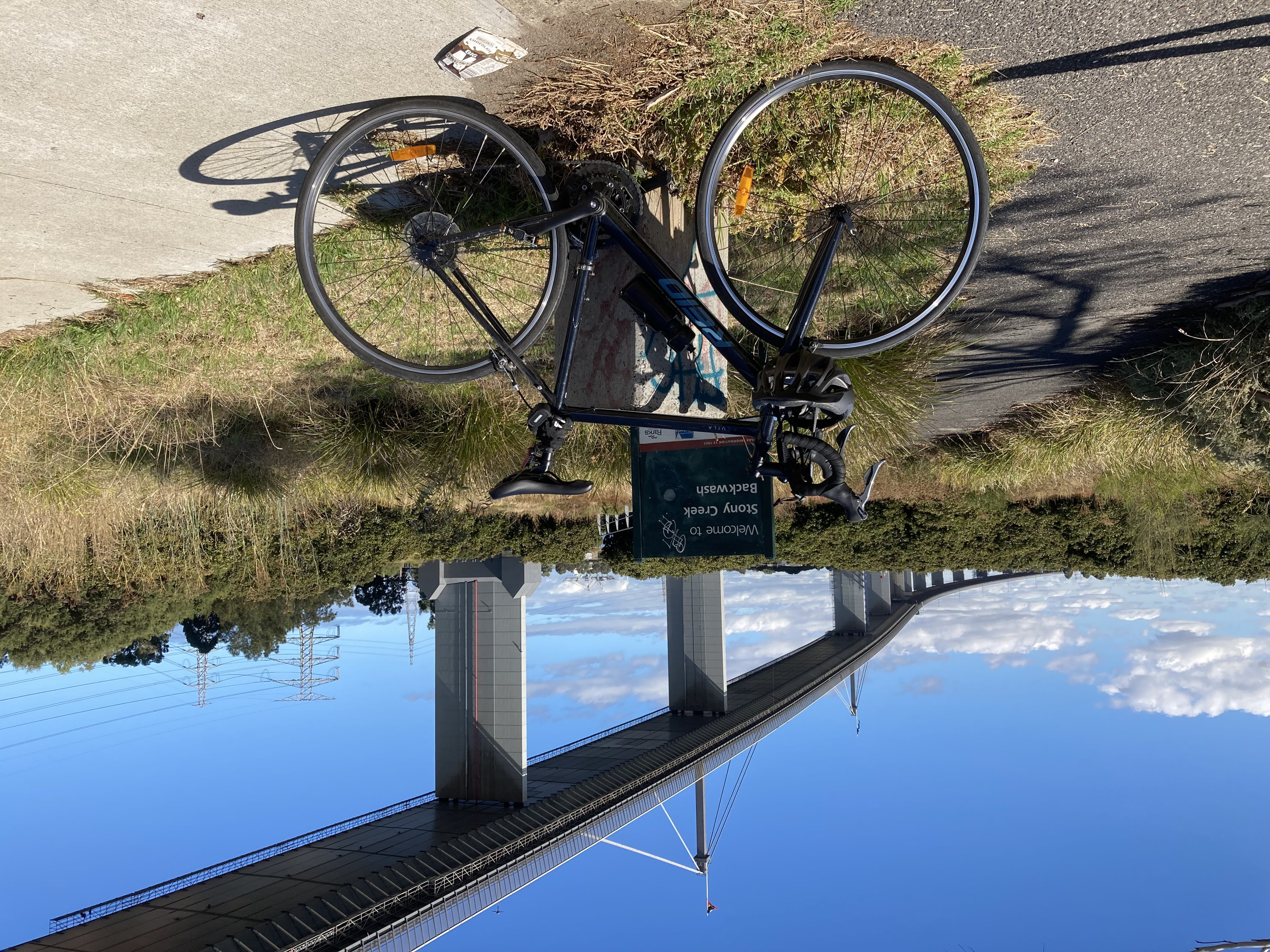
At the Stony Creek Backwash. Credit: Parks Victoria
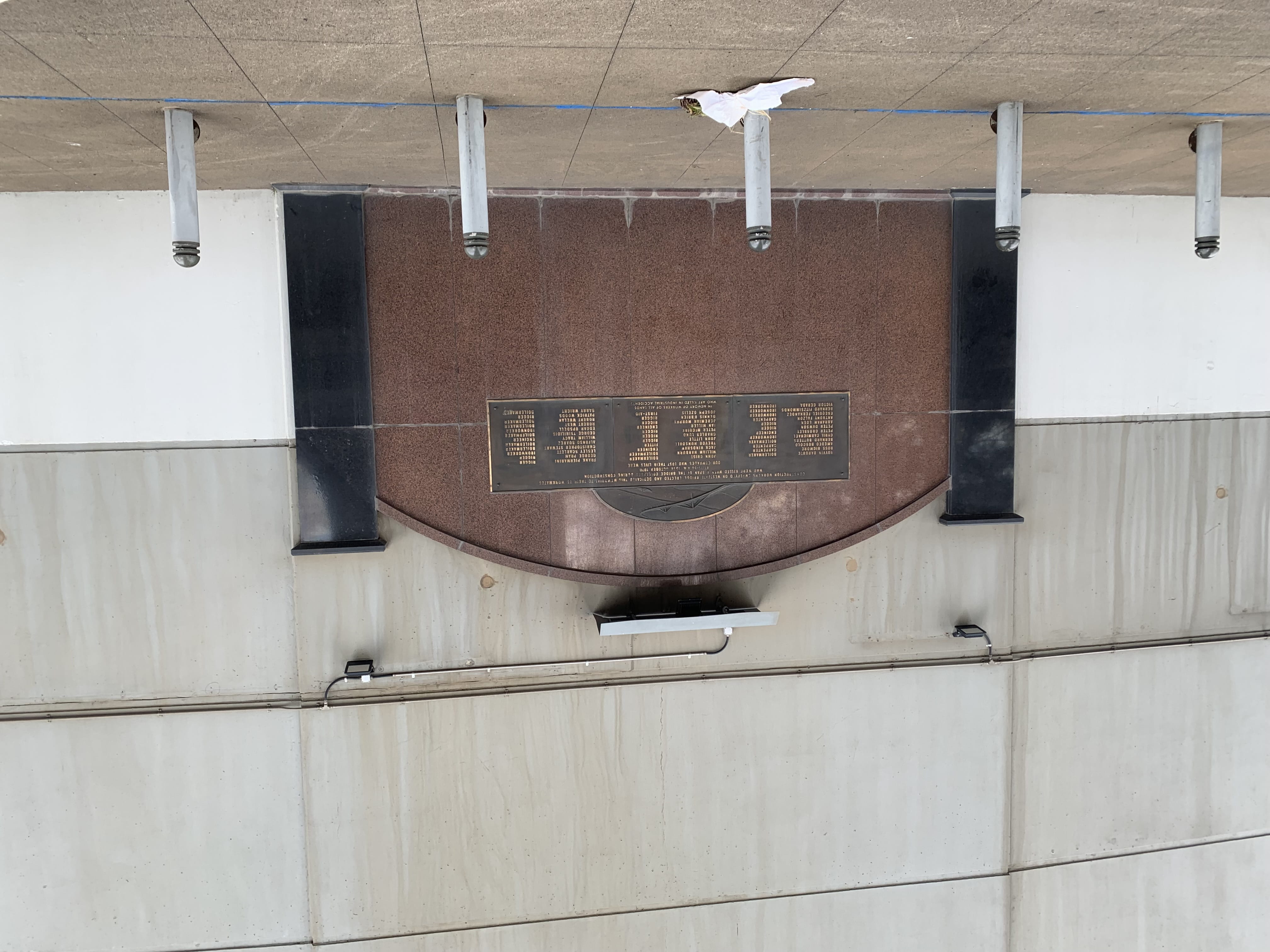
The Westgate Memorial. Credit: Parks Victoria
Williamstown Piers
Riding through the popular Warmies Dog Beach at Newport and past sports fields, the next Parks Victoria sign marks the , next to the Hobson’s Bay Yacht Club at the entrance to Williamstown.
The views from the pier can be stunning – across the shimmering water, past bobbing boats and birds, over the cranes and containers of the port, to the towers of the city. It’s also a very popular fishing spot.
A handy toilet block and bike repair station is located just before the entrance to the pier.
Passing through the historic centre of Williamstown (take it slowly if you’re not on the road, the shared path is usually busy) you can stop at one of the many cafes and restaurants for a coffee or something stronger.
You can make a short detour down Syme Street to the , another Parks Victoria asset – and visit the HMAS Castlemaine. Classed as a Heritage Honour Ship, the Castlemaine is now a floating museum.
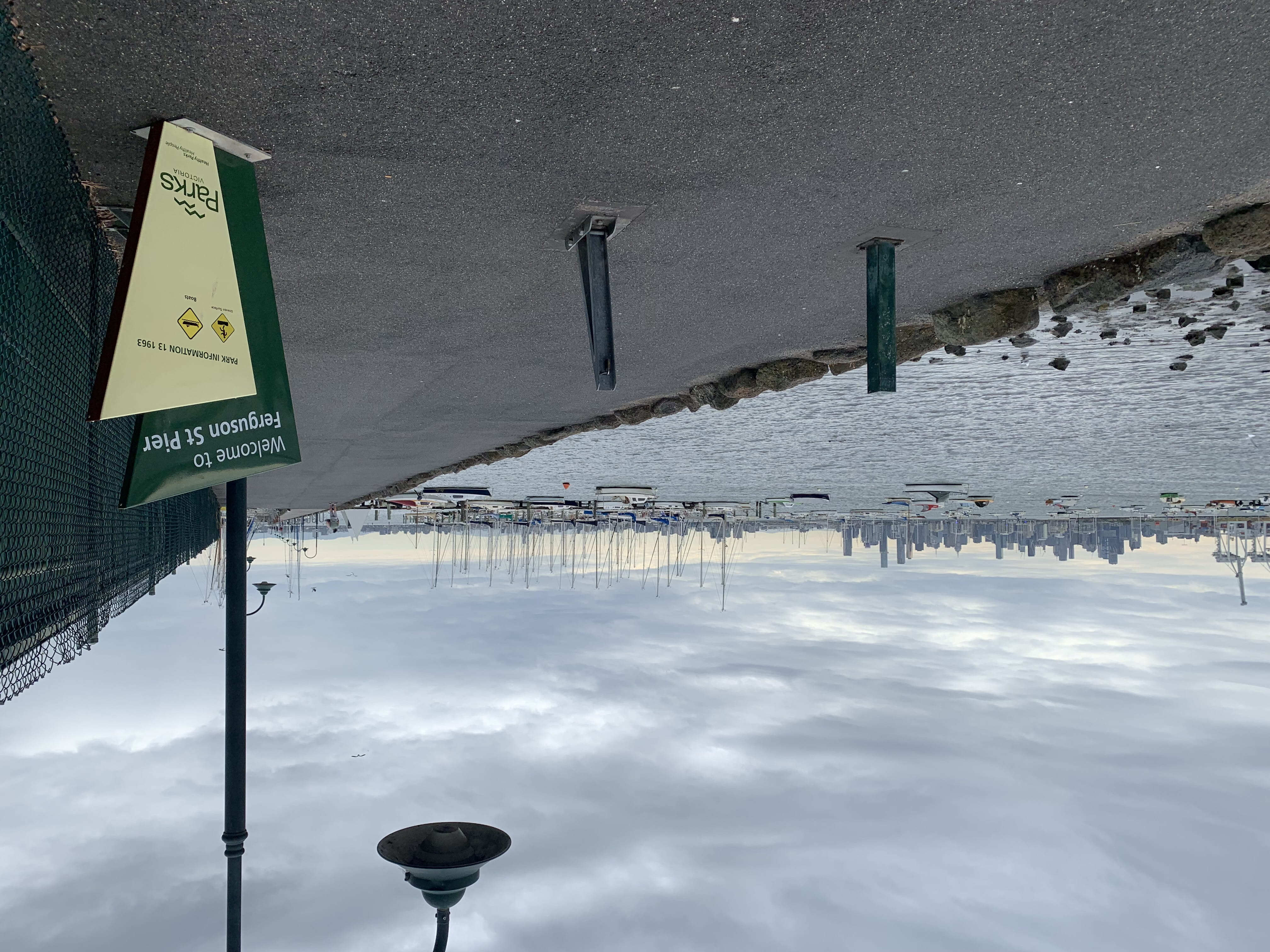
Ferguson Street Pier at the entrance to Williamstown. Credit: Parks Victoria
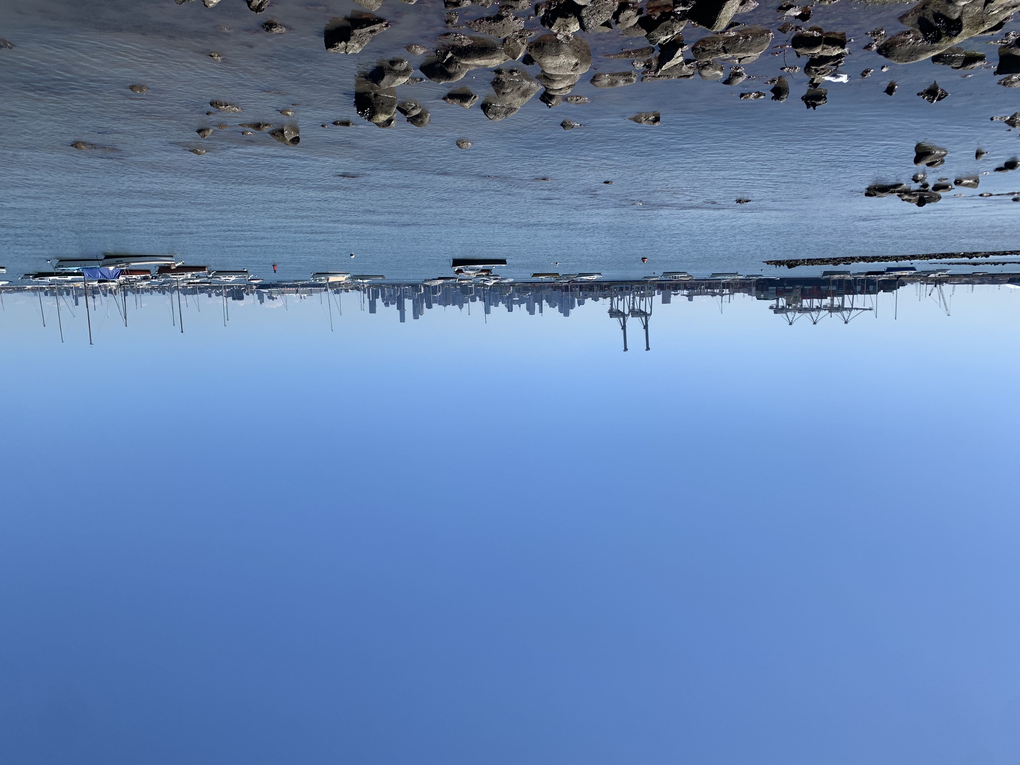
View across to the city from near Ferguson Street Pier. Credit: Parks Victoria
Point Gellibrand Coastal Heritage Park
Just past the Williamstown seafront strip you pass the Seaworks Museum and the Mobil refinery pier to emerge on a wide open area of coastal grassland – the .
A bluestone tower stands proudly looking out to sea. This is the Timeball Tower, built in 1849 and moved to its current spot in 1861. It was a tool for mariners in the age of sail, allowing them to set chronometers – vital navigational tools – to an accurate time.
Gellibrand was Victoria’s first permanent European settlement and seaport. The seawall here was built by convicts in the 1850s to protect it, and many years of erosion from wind and waves have taken their toll. In February this year Parks Victoria through the Urban Parks Active Wellbeing Program.
Following the sea wall you will pass Fort Gellibrand, part of a series of defenses built around Port Phillip in the 1860s. You can visit on open days, but from the trail you get a good view of the zig-zag walls and gun emplacements.
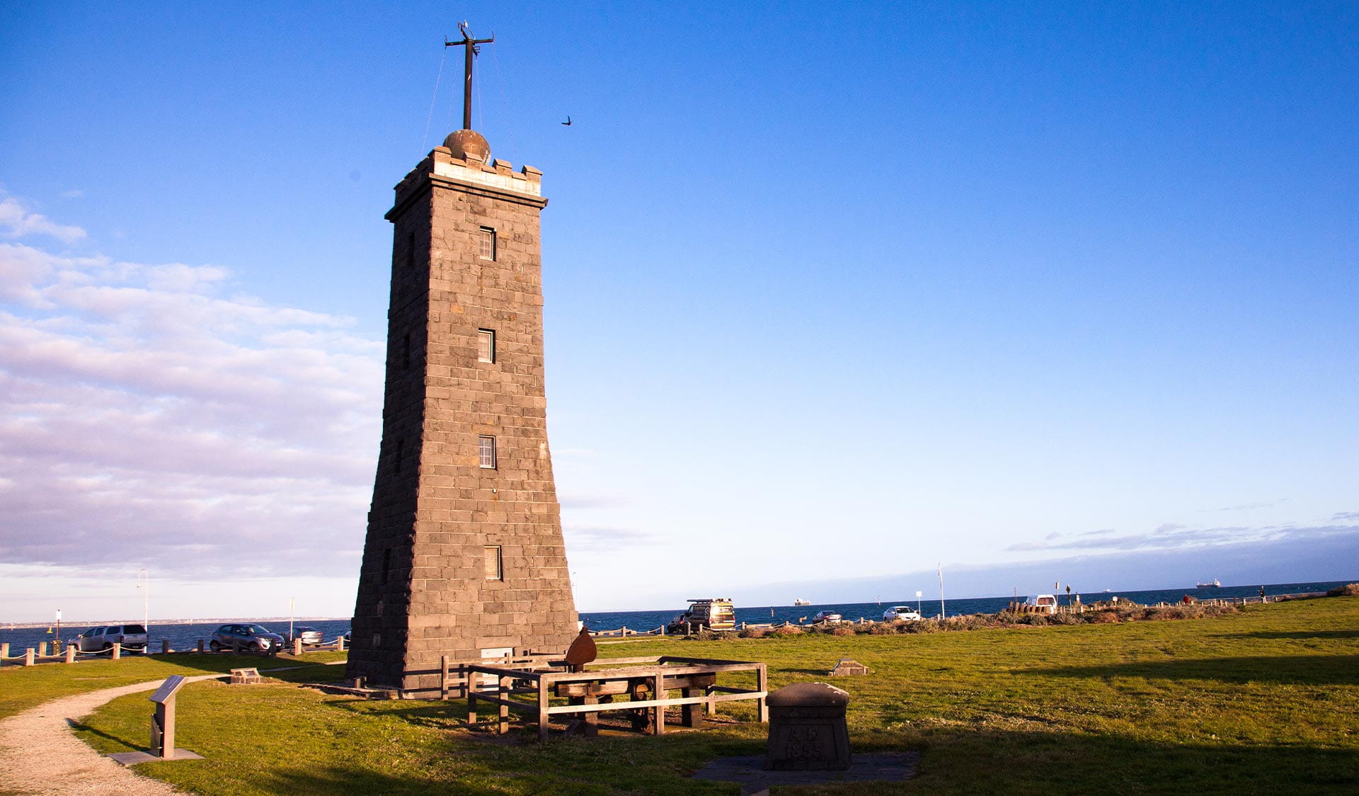
The Timeball Tower at Point Gellibrand Coastal Heritage Park. Credit: Parks Victoria
Jawbone Marine Sanctuary
After running down the Williamstown Beach seafront, the trail enters the
Jawbone is a saltmarsh and mangrove wetland that’s home to many different species of birds, but beneath the waves is a vibrant kelp forest full of marine life.
On warm days, keep an eye open for snakes sunning themselves on the track or bridges. Jawbone is home to a vibrant population of highly venomous tiger snakes.
I grew up in England, where you might very rarely see an adder but no other venomous snakes. Then I lived in New Zealand, where there are no snakes at all. So seeing them still takes me a bit by surprise. I was certainly very surprised to turn a corner and find one lying straight across the path.
Tiger snakes usually just want to get away from humans as fast as possible, and this one was no exception. I tried to get a photo but it slithered into the bushes before I could get to my phone.
Nonetheless it was a reminder to keep your eyes peeled and stay aware of your surroundings. And that’s not just about snakes. At times the Bay Trail can be very busy with walkers, other cyclists, picnickers and even artists.
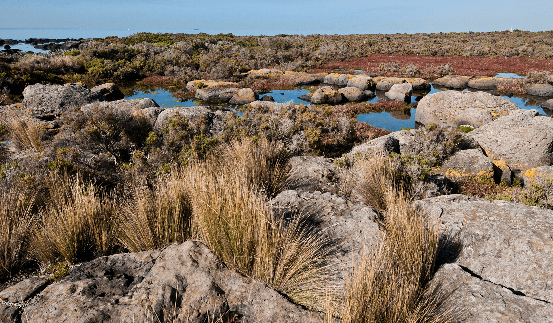
Rockpools in the Jawbone Marine Sanctuary. Credit: Parks Victoria
Altona Pier
From Jawbone the trail winds around past Kororoit Creek and through the old Kororoit fishing village, passing through a saltmarsh wetland, over the popular Altona dog beach and past sailing and boating clubs to arrive at Altona beach proper.
The pier here is also a Parks Victoria asset and like many others in Victoria it’s near the end of its lifecycle. Fortunately, – the new pier will be more than 300m long, with a distinctive Y-shaped end for fishing and boating.
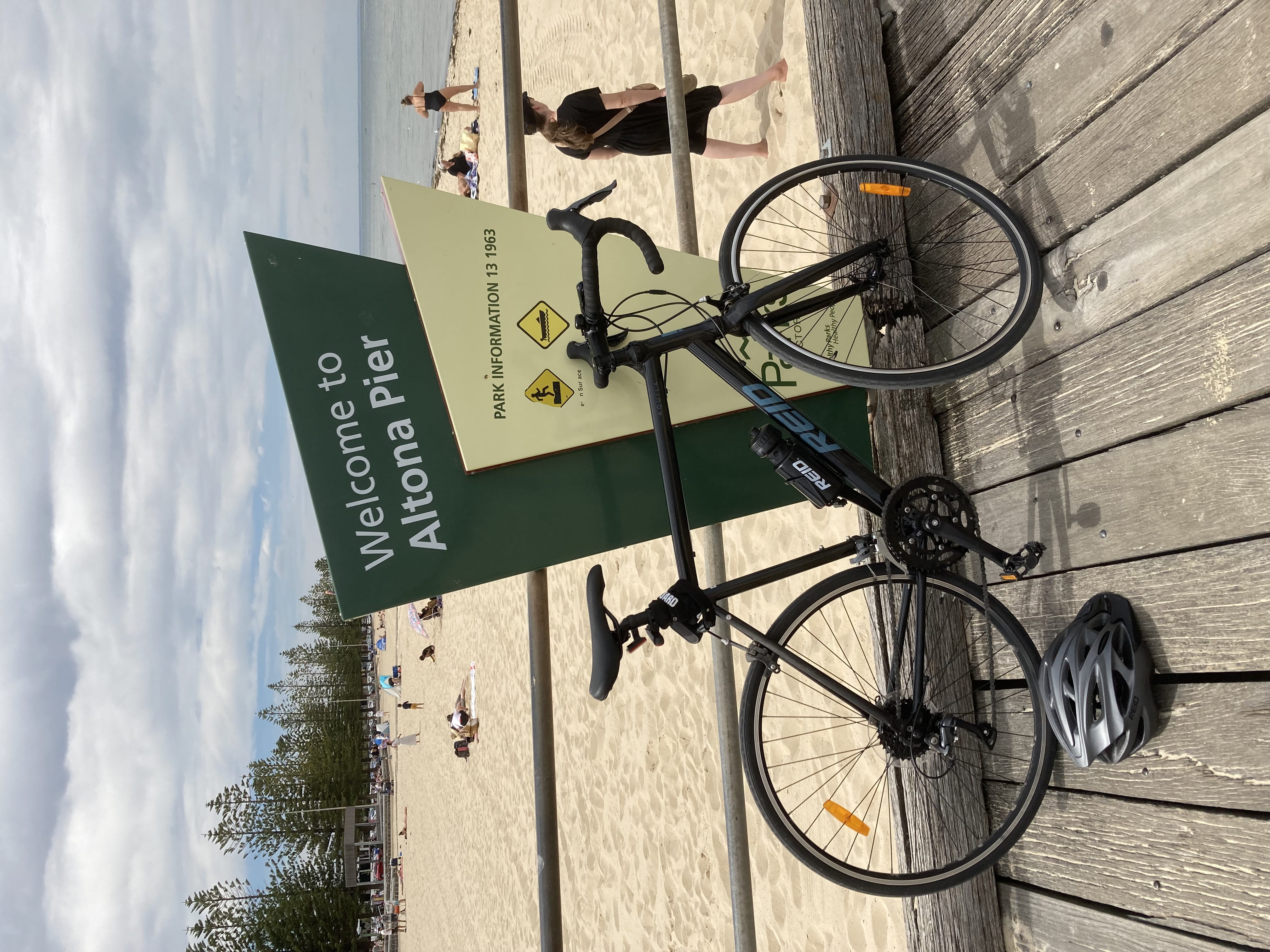
At the old Altona Pier, soon to be replaced with a new one. Credit: Parks Victoria.
Cheetham Wetlands
Past Altona the trail enters the vast complex, passing through council-run parks and by the Truganina Explosives Reserve, which served as a storage area for, you guessed it, explosives for mining and construction.
The wetlands are a vast expanse of saltmarsh, one of the most important habitats of its kind in Australia. On sunny days the heat and sunlight reflect off the chalky white salt flats, remnants of a salt mining operation.
It is a feeding and habitat area for thousands of migratory birds from Japan, Siberia and New Zealand along with Australian birds like the Painted Snipe, Greater Sand Plover, Grey-tailed Tattler, Lesser Sand Plover, Orange-bellied Parrot and Regent Honeyeater.
Extension
At Sanctuary Lakes Boulevard the Bay Trail abruptly ends. To get to the final section, you must follow the local roads through Point Cook.
But this will soon change.
Parks Victoria – eliminating a 4km detour. It will be the final link in the Bay Trail, completing the journey.
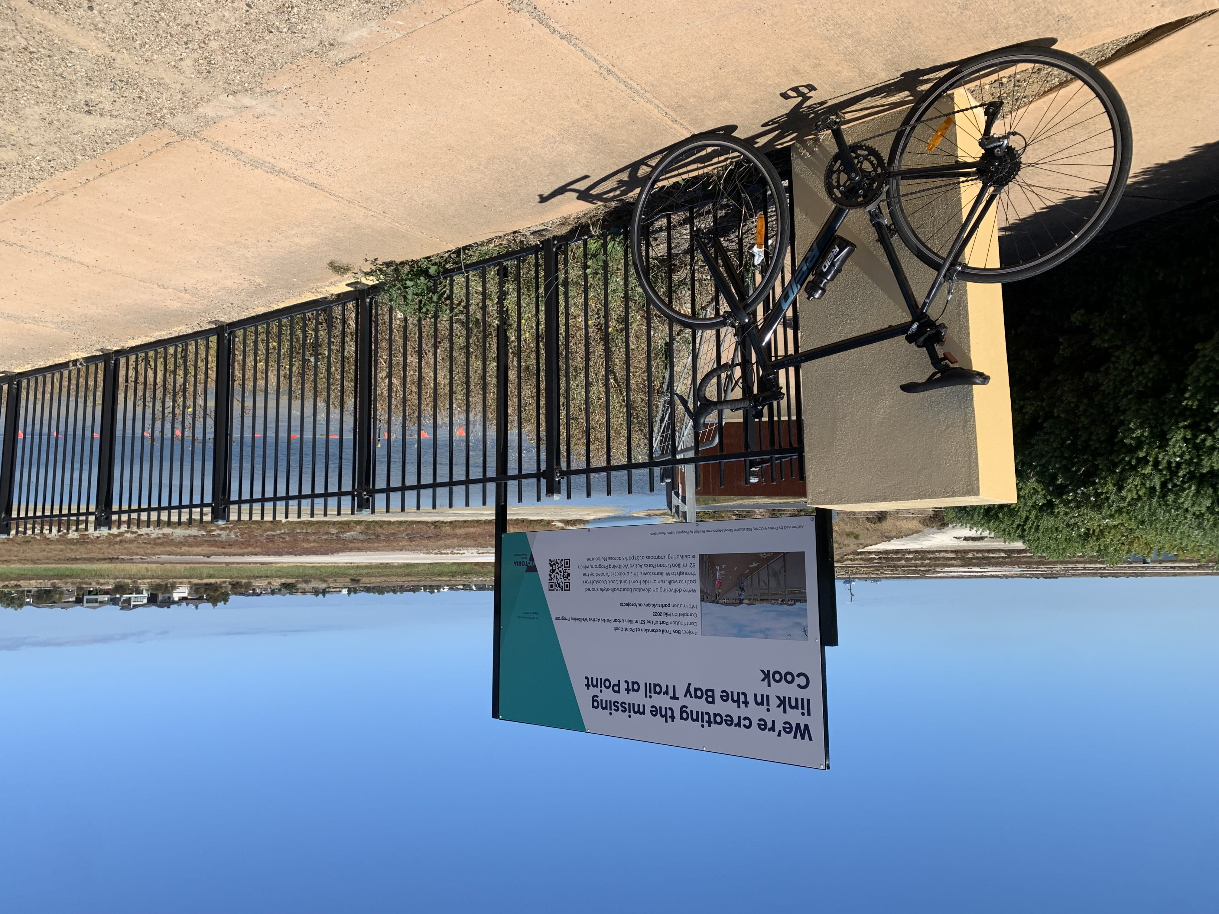
Site of the planned extension to the Bay Trail through Point Cook. Credit: Parks Victoria.
Point Cook Coastal Park and Point Cooke Marine Sanctuary


