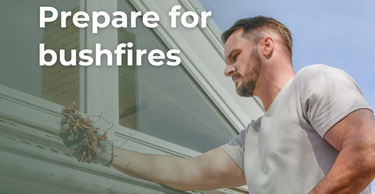
Warm weather is forecast for this October long weekend which also marks the start of the Bushfire Danger Period from Saturday, October 1. Time to plan ahead and make preparations for your safety in the event of an emergency. Clear the gutters, have a go-bag ready and before you even think about burning-off, seek approval from your local RFS.
Familiarising yourself with the is a must! Brought in last year, the new low-to-catastrophic rating scale makes it easier to understand the potential threat on any given day.
The NSW RFS is the lead agency in the event of a bushfire emergency. If you have not already done so, , property and family for bushfire season, and take the time to familiarise yourself with the steps the NSW RFS recommends you take, including the .
Out of control grassfires are a high-risk factor in our region, so for your safety and that of your neighbours and the wider community, you MUST if you live in a rural area, or , if you live in an urban area and obtain a permit before you do any backyard burning or fines may apply. If you’re not sure which area your property falls under, you can check out the interactive map on .
Trust the experts in bushfire prevention to guide and support you to do it properly, and avoid endangering your property and other people.
“We have already had some instances where residents have carried out pile burns without notifying their RFS and things have got out of control with property damaged. It’s not worth the risk,” said Barry Arthur, Wingecarribee’s Shire Council’s Manager, Environment and Sustainability.
Check-in regularly with your local RFS website for the latest updates.
On Council’s website, you can find helpful information about before backyard burning and learn more about the now upon us. Our recently launched will point you to all of the information you need, to make sure you’re prepared, with key links to keep you updated on emergencies near you.
Remember, on Total Fire Ban days, no fires are to be lit out in the open. This Summer, get into the habit of checking the daily for your location on the map provided. A large proportion of our Shire is identified by the RFS as bushfire-prone land, and we all have a part to play in mitigating risk for our families and community.
For weekly updates on all that’s happening across our shire join Council’s Your Shiree-news


